This section includes a Sacramento County creek map, various documents containing information about local creeks, and a comprehensive article written by Rick Bettis that provides a historical view of our area creeks.
You may notice an emphasis on Arcade Creek. The Sacramento Area Creeks Council was formed in 1990 because of concern for the health of Arcade Creek.
Creeks in Sacramento County – Map
Sacramento’s Creeks & Sloughs – A Brief Overview with Historical Vignettes by Rick Bettis
Cordova Creek Naturalization – This urban stream rehabilitation project restored ecological function by removing an existing trapezoidal shaped concrete-lined channel that discharged treated groundwater, stormwater runoff and residential irrigation runoff (previously named the Clifton Drain), and replacing it with a natural winding one (renamed Cordova Creek).
Renfree Field, Termination of Agreement with SIBA
Soil Conservation Project at Arcade Creek near Horsemen’s Association April 29, 2017
The mitigation project for the Roseville Rd Bridge replacement, completed in 2016, was well designed and implemented, and it’s something for which the City of Sacramento should be proud. As we plan future mitigation and restoration projects along Arcade Creek, we should use this document as a guide.
Arcade Creek’s riparian tree canopy change over eight decades
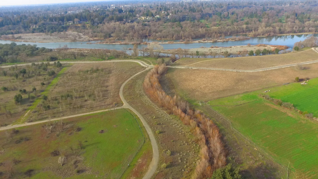
SAFCA Levee Projects At the July 18, 2013 Sacramento Area Flood Control Agency (SAFCA) Board meeting, flood agency staff and its consultants provided a status update on the Sacramento and American River levee systems. The third map highlights SAFCA’s habitat restoration and conservation strategies for the levee work done on Dry and Arcade Creeks.
Del Paso Regional Park Resource Page This Sacramento City Parks web page is a centralized location where members of the public, agencies, scientists, journalists, cross-country running teams, and other parties can access information about the history, stewardship, and maintenance of Del Paso Regional Park.
2007 Arcade Creek Corridor Conditions and Assessment Maps, photos, charts, and cross sections of the 16-mile long Creek which flows through the cities of Sacramento and Citrus Heights. Arcade Creek drains a 38-square mile watershed from it’s headwaters near Greenback Lane in Orangevale to the confluence with Steelhead Creek.
Steelhead Creek Clean-up Using Draft Horses – Final Report November 2021 Watch a video
Some maps from Creek Corridor Trail Project Feasibility Report (Accepted by the Citrus Heights City Council on March 27, 2014) This report takes a comprehensive approach to potential trail locations. Contains detailed segment descriptions of the feasibility of constructing trails along Arcade, Brooktree and Cripple Creeks in Citrus Heights in the early 1990’s.
North Sacramento by V. Ehrenreich-Risner. A book available for purchase, includes pictures of creekside huts, and remnants of villages where indigenous people once lived. The remains were present as late as the 1920s, or so.